Details
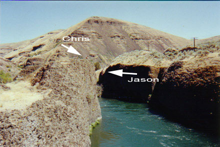
Mt. Hood/HWY 26 Route: This route is best for those traveling from the Southern areas of Portland and the Northern Willamette areas. Travel East on HWY 26 towards Mt. Hood. Pass through Government Camp and continue on HWY 26 towards Warm Springs/Bend. Just after you enter the Warm Springs Indian Reservation turn left on HWY 216: Maupin & Bear Springs (on your Left, heading East). Once on HWY 216 proceed roughly 30 miles to HWY 197. Turn right onto HWY 197 and travel the 2 miles to Maupin. Go through Maupin and cross the river. Go North about 10 miles to Sherars Falls. Continue North another 5 to 10 miles. There is a bend in the river from east to west at a small campground (not sure of the name). Cliffs areon the north side of the river.
Jump Stats
height
80ft
Location
Nearest Address
Sherars Falls , OR United States
street address
Sherars Falls
city
Grass Valley
state
Oregon
country
United States
latitude
45.2623439
longitude
-121.0325618
Media
Photos