Water Depth
A deep pool is described by public sources, but the landing zone still needs to be checked directly because plunge pools can hide shelves and changing turbulence.

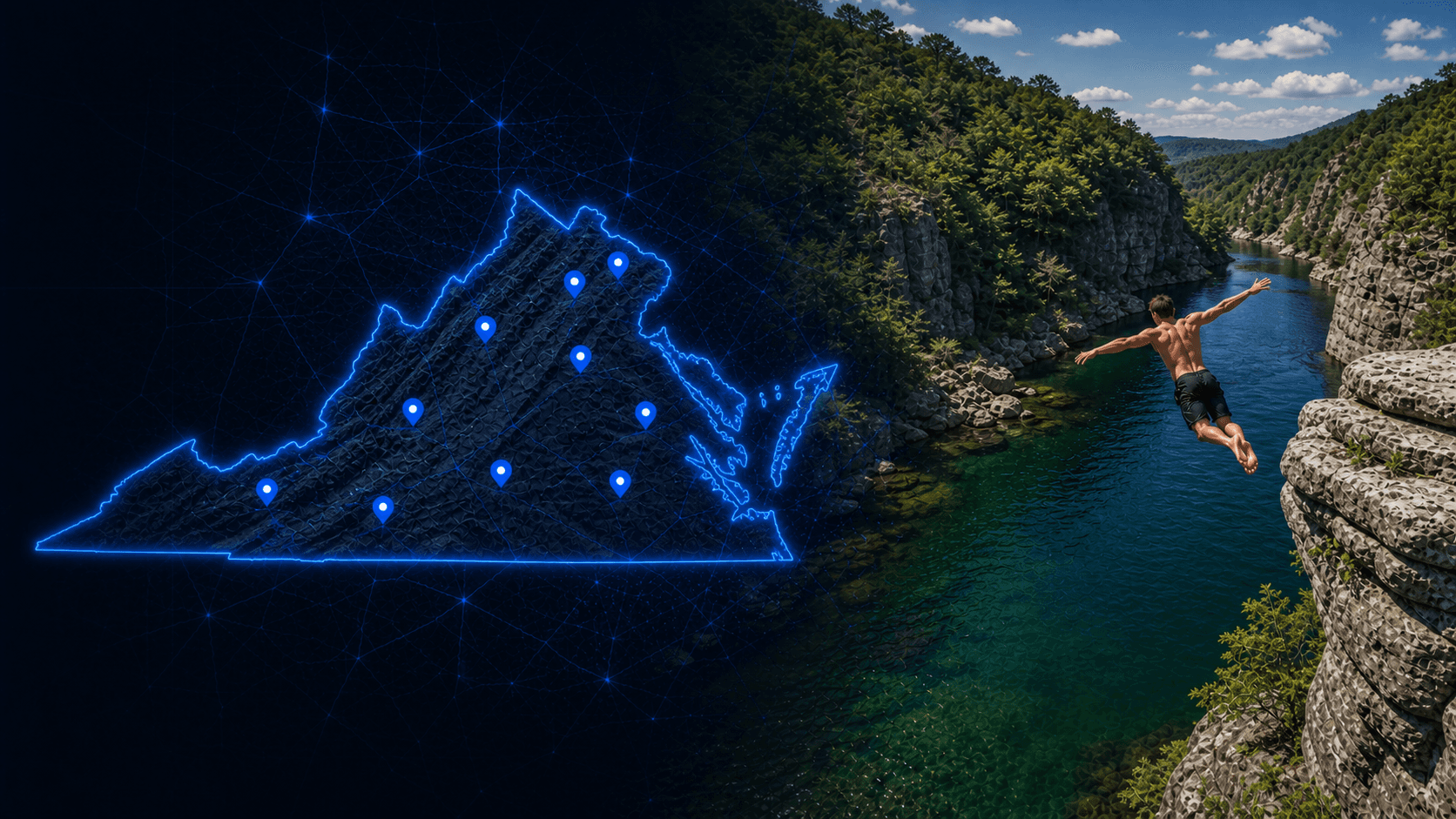
Vesuvius, Virginia, United States
FLOW, FOOTING, AND WATER-CROSSING CONDITIONS NEED A FRESH CHECK*
St. Marys Falls appears to be a freshwater waterfall pool near Vesuvius, Virginia with a deep swim hole below the falls. Use it only after checking current flow, landing depth, footing, and the route back out.
A deep pool is helpful, not final. At St. Marys Falls, the right call still comes after reading the water, the rock, and the hike conditions together.
Overview
St. Marys Falls is a waterfall-and-pool spot in Virginia’s St. Marys Wilderness. Public sources support the deep swim hole, but the practical line still depends on waterfall flow, slick rock, and how manageable the exit remains.
Quick Answer
St. Marys Falls appears to be a freshwater waterfall pool near Vesuvius, Virginia with a deep swim hole below the falls. Use it only after checking current flow, landing depth, footing, and the route back out.
Key Takeaway
A deep pool is helpful, not final. At St. Marys Falls, the right call still comes after reading the water, the rock, and the hike conditions together.
Quick Answer
St. Marys Falls appears to be a freshwater waterfall pool near Vesuvius, Virginia with a deep swim hole below the falls. Use it only after checking current flow, landing depth, footing, and the route back out.
Key Takeaway
A deep pool is helpful, not final. At St. Marys Falls, the right call still comes after reading the water, the rock, and the hike conditions together.
Conditions and planning notes
A deep pool is described by public sources, but the landing zone still needs to be checked directly because plunge pools can hide shelves and changing turbulence.
Use the St. Marys Wilderness trail approach as the access anchor and confirm the day’s crossing conditions before committing to the hike.
Plan enough time to handle wet crossings, scout the base, and hike back without rushing a decision near the falls.
Likely hazards include slick rock, changing plunge-pool depth, waterfall push, tiring stream crossings, and a harder-than-expected climb back out.
Any usable takeoff should be treated as highly condition-dependent and checked against the exact pool depth and current at the base.
The main issues are slippery rock, changing waterfall flow, stream crossings on the hike, and assuming the base is deeper everywhere than it really is.
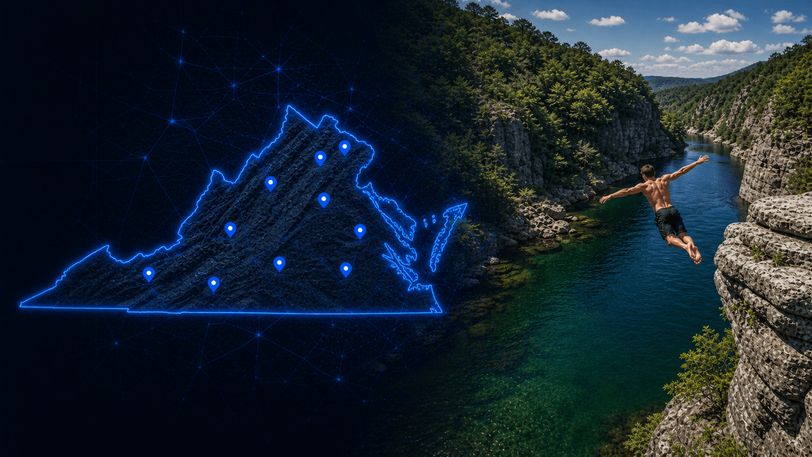
Map location
Use the source location details as a starting point until exact coordinates are added.
St. Marys Falls sits in a wooded wilderness corridor near Vesuvius, where public hiking sources describe several stream crossings before reaching the main waterfall and its deep pool. That context matters because the hike and the water are part of the same decision, especially when flow is up or the rock stays wet and slick. The pool below the falls is the attraction, but a deep-looking plunge area still needs a close read. Waterfall turbulence, hidden shelves, and awkward exits can change the feel of a line quickly. Even when the hike is straightforward in low water, slippery crossings and slick stone near the base can raise the consequence of a rushed move. Before treating St. Marys Falls as jumpable, inspect the pool from the water, check how the flow moves around the base, and make sure the exit remains simple enough for the day’s conditions. If the stream crossings or waterfall push feel questionable, keep it to a hike-and-swim stop instead.
FAQs
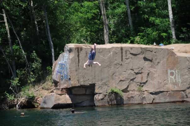 70ft
70ftMcLean, Virginia, United States
 60ft
60ftFredericksburg, Virginia, United States
 60ft
60ftLexington, Virginia, United States
 60ft
60ftFredericksburg, Virginia, United States
Plan this spot