Details
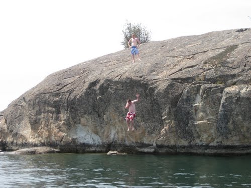
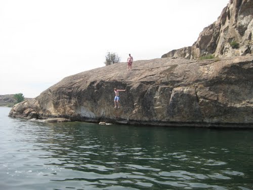
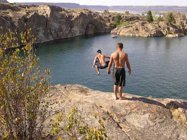
From Portland take I-5 north into Washington. Go north until you get to Seattle. Once in Seattle stay on I-5 north until you get to exit 194. Exit 194 will take you east on StateHwy 2. Follow Hwy 2 for 121 miles as it takes you up and over Stevens Pass and down the eastern slopes of the Cascade Range until you get to Wenatchee. Stay on Hwy 2 as you cross the Columbia River and follow Hwy 2 north for 13 miles until you roll thru Orondo, at this point Hwy 2 once again turns east and your going to stay on it for another 48 miles until you roll into Coulee City. After refueling at the gas station take a left and go north on Route 155. Banks Lake should now be visible on your left, in fact, it will be visible for another 18 miles or so until you get to the widespot in the road. Parking is alongside R155 on the left. It's about 3 miles past the Steamboat Rock State Park entrance and about 1 mile before Osbourne. Other cars will be parked there. You cannot see the lake from the parking area. If you haven't found the parking area by this time than you should start reading these directions backwards and take yourself back to Portland. If you are in the right place, the trail to the west is pretty obvious. If you can't find it ask the local kids to show you the way. They were possibly the friendliest locals I have ever met. After 500 yards of sagebrush, tumbleweed, and a mouthfull of dust, Banks Lake shows itself. When your jaw hits the ground and all you can do is stare in awe, thats when your finally there. Try to control yourself when you hit the 85 degree bath water. In this part of Washington the summer heat is no joke. I was there August 9th and it was 109 degrees. Bottled water and sunscreen are the most valuable things you own. To land on a jet ski would be a mistake. To show up at Banks without plenty of water would be a mistake.
dehydration = cramping = drowning
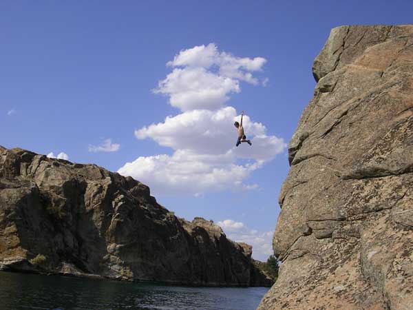
So get hydrated and enjoy this Washington cliff jumping paradise.

