Details
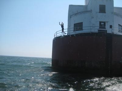
In the middle of Buzzard's Bay(It is the body of water between Cape Cod and Rhode Island. Latitude 41deg 37min 51sec N , Longitude -70deg 41min 39sec W.) From the rotary at the Bourne Bridge take Rt28S, then bear right onto Rt.28A. Take a right onto Wing Rd. and then a left on Quaker Rd. Follow to Old Silver beach for a distant view of the lighthouse. is a lighthouse up on a shoal. Finding it is as easy and standing on the beach and looking at it, however you need a boat to get there and a rope to climb up. The water isn't always that deep since it is a shoal(A shoal is like a sandbar in the middle of the ocean, where the water gets shallow and creates rip currents) be sure to go at high tide and for safety jump into waves. You'll need the rope to climb back up and jump again.


